N’East Queens to DOT: Give Us the Safest Bike Lanes, Not Just Paint
They want the best or nothing.
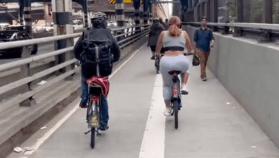
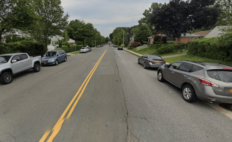
A community board in northeast Queens wants the Department of Transportation to build a network of protected bike lanes instead of the agency’s original proposal for painted lanes and sharrows.
On Monday night, Queens Community Board 11 unanimously voted to demand a safer, better plan for the neighborhood, sending to the DOT a map of protected bike lanes it wants for Bayside. The map, which suggests six east-west protected routes and four north-south protected routes, is one that the community board put together after the DOT offered only painted bike lanes. The full-throated support for the gold standard in bike infrastructure left activists basking in good vibes — a rarity at the community board level.
“This unanimous vote shows the broad, popular support for protected bike lanes throughout Queens,” said Transportation Alternatives Queens Organizer Laura Shepard. “As the bike boom continues, more New Yorkers are biking for transportation and people of all ages are discovering the joy of riding through our parks and on our greenways. Safe, protected lanes connecting homes and schools to the Eastern Queens Greenway will encourage a new generation to ride and keep the bike boom going.”
In October last year, the DOT came to Community Board 11 with a proposed network made up of about 13 miles of painted lanes, one that would have established connections to parks around Bayside, but only with Class 2 (painted) or Class 3 (sharrowed) bike lanes. In response, District Manager Joseph Marziliano drove around Bayside to measure various streets — and instead of being a blanket rejection of the network, Marziliano suggested some of the streets were wide enough to be redesigned with protected bike lanes.
That report led the board’s Transportation Committee to work on a kind of counter-proposal to the city, one that Committee Chair Victor Dadras praised as “a serious comprehensive analysis and study” of the neighborhood’s streets.
The proposed east-west bike lanes are as follows:
- 26th Ave. from Utopia Pkwy. to Bell Blvd.
- 28th Ave. from Bell Blvd. to Joe Michaels Mile
- 46th Ave. from Bell Blvd. to Cloverdale Blvd.
- 53rd Ave. from Underhill Ave. to Oceania St.
- 56th Ave. from Springfield to E Hampton Blvds.
- 69th Ave. from Cloverdale to Springfield Blvds.
The proposed north-south bike lanes are:
- Cloverdale Blvd. from 53rd Ave. to 69th Ave.
- Corporal Kennedy St. from 26th Ave. to 33rd Ave.
- Corporal Kennedy St. from 41st Ave. to Northern Blvd.
- Oceania St. from Northern Blvd. to the LIE

The protected bike lanes that CB11 settled on manage to accomplish the same stated goals of the painted bike lane network, which is to connect residents between schools and business and a series of parks including the Little Neck Bay waterfront, Cunningham Park and Alley Pond Park. The proposed 26th Avenue bike lane would also give local teens a safe route to the area’s mall and movie theater.
“I’m very happy with how things turned out,” said Joby Jacob, a safe streets activist. “This isn’t a perfect proposal, but it is a far better proposal that will keep folks safer than what DOT originally proposed.”
The DOT sounded thrilled to have a community board where 89 percent of residents own cars greet the agency with an olive branch instead of a shiv.
“We wholeheartedly agree that a bike lane network is exactly what our streets need,” said spokesman Seth Stein. “We’re excited to review the community’s proposal for more protected bike lanes and work with them to give eastern Queens a stellar bike lane network.”
