WE ACT Climate Plan Calls for Better Upper Manhattan Bicycling, Walking

While most of Northern Manhattan escaped the harshest ravages of Hurricane Sandy, there was some flooding along the waterfront, including inside the 148th Street subway station. Next time around, a severe storm could take a different turn and things could be worse for waterfront areas in Harlem, Washington Heights and Inwood. WE ACT for Environmental Justice has developed a climate action plan for those neighborhoods — and it includes some recommendations for walking, bicycling, and transit.
The plan proposes more than just new infrastructure to limit the damage of severe weather. Building social capacity to make sure people have access to resources and are able to ride out storms is an important component, as is retrofitting the neighborhoods to reduce their contribution to climate change. Addressing inequality is at the heart of the report’s recommendations, since low-income populations are most at risk from environmental hazards.
“For many communities, the emergency has existed throughout their history,” said Aurash Khawarzad, policy advocacy coordinator at WE ACT. “Climate change just compounds it.”
The report began to take shape after the People’s Climate March in September 2014. “After the People’s Climate March, a lot of people we were working with were really excited about working on climate change,” Khawarzad said.
WE ACT held seven workshops with more than 100 local residents during the first half of 2015. “All these ideas came out of a community-based planning process,” Khawarzad said. “It’s meant to be comprehensive plan.”
Transportation and streets feature in many of the report’s recommendations. First, there’s the issue of leaving the area during an emergency. “It’s not really clear how people would evacuate, especially if they’re transit-dependent,” Khawarzad said. The report calls for better signage to evacuation routes and cooling centers, as well as ferry service at the West Harlem Piers, including during evacuations.
Constructing berms or levees along the waterfront also provides an opportunity to add or upgrade greenways and park space, the report says.
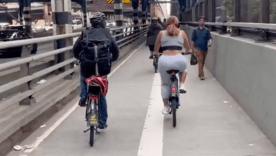
It calls for more bicycle and pedestrian infrastructure, including rain gardens that double as traffic calming and bike lanes on the Harlem River bridges. DOT has launched a planning process to improve access to the bridges, a priority of the Transportation Alternatives Upper Manhattan committee. The plan also calls for more street trees to reduce the urban heat island effect.
With a plan in hand, WE ACT is now focusing on implementation. The group has met with city agencies to discuss opportunities for specific projects. “The city is looking at Sandy-affected areas, and the focus isn’t necessarily on Northern Manhattan,” Khawarzad said. “But we’re doing our own planning, we’re doing our own organizing… We need to implement a full range of measures to protect these places, rather than waiting until after the fact.”