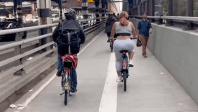
Map Out Which Streets Need Safety Fixes — It’s Now or Never

This is it — the last day to mark dangerous street conditions on the city’s official Vision Zero map. After today, agencies will start using the information from the map to make plans for safety improvements, so spend a few minutes this afternoon and tell the city where you want safer streets for walking and biking.
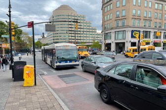
The map highlights arterial streets as well as the top pedestrian crash corridors in each borough and the sites of recent pedestrian fatalities. You can zoom in, click on an intersection, and use Google Street View to pinpoint the exact location you want to improve. Then you assign the problem a category like double parking, red light running, speeding, or failure to yield, and describe it in more detail.
If you want to tell the city that a location has too much speeding for people to feel safe biking, for instance, you would identify an intersection, select “speeding” as the category, and use the “comment” field to note how speeding endangers cyclists there.
In addition to the online map, the city has also hosted nine Vision Zero workshops in all five boroughs to gather ideas, and will use the information to develop pedestrian safety plans for each borough that will be released this fall.
Since launching the map in April, the city says there have been more than 7,500 comments about dangerous streets. While the map will continue to be available online after today, the city will no longer be accepting new suggestions. The map was developed by DOT, NYPD, and the Taxi and Limousine Commission, in conjunction with developers at OpenPlans, Streetsblog’s parent organization.