Road Diet for Macombs Road Wins Unanimous Bronx Community Board Vote

DOT’s plans to improve pedestrian safety along the length of the Bronx’s Macombs Road [PDF] received a unanimous vote of support from Bronx Community Board 4 last night, according to District Manager José Rodriguez. The plan puts Macombs on a road diet and reconfigures dangerous diagonal intersections that lead to drivers taking fast turns across the crosswalk.
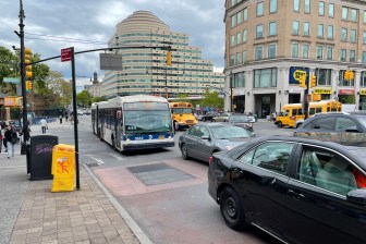
Currently, Macombs is a wide road with low traffic volumes, a recipe for high speeds. To make matters worse, the curvy road is characterized by irregular intersections that allow turning drivers to remain at high speeds; at some, the gentle angle makes turns more like full-speed forks in the road.

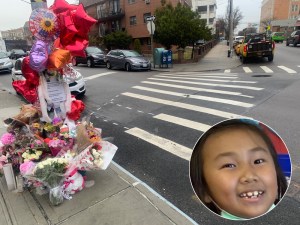
As a result, 102 people were injured in traffic crashes along Macombs’ roughly ten blocks between 2005 and 2009: 69 motor vehicle occupants, 26 pedestrians, and 7 cyclists. One person was killed in 2008 at the intersection of Macombs and Goble Place.
DOT’s proposal would remove one lane of traffic from Macombs in each direction. That extra space would go toward a new median (sometimes a physical island, sometimes painted stripes), as well as wider parking lanes.
At certain intersections, DOT will add additional features. At Cromwell Avenue, for example, DOT will install a new pedestrian triangle to slow turning cars and shorten crossing distances. A neckdown will also force drivers traveling southbound on Macombs to actually make a turn onto Cromwell, rather than simply heading straight onto it at speed as Macombs turns left.
A new triangle will also be added at Featherbed Lane, where drivers have a similarly free right turn.


