NYCDOT Opens the Way for Killer Bike Apps
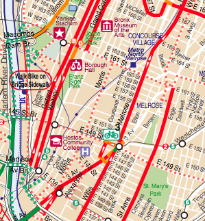
 NYC’s bike map [PDF] is now available in a software developer-friendly format.
Finding the best bike route through New York City streets? There’s an app for that. And with new data published online by NYCDOT yesterday, there may soon be more digital tools that enhance the experience of biking here.
The new release from DOT is a GIS-formatted version of the city’s cycling map, available here. Software developers now have high quality data about the locations of bike lanes built and proposed, as well as bike shops and bike parking. Throw in the developer-friendly information now available from the MTA, which released more sets of data last week, and the multi-modal app possibilities are growing.
What features would you like to see in NYC cycling apps? Let us know in the comments.


