Pin it on Shelly!
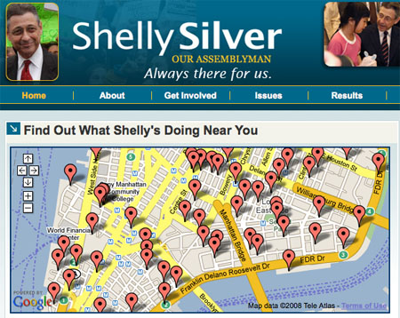
With New York City’s mostly uncontested primary elections less than a week away, attention turns to the 64th State Assembly district in Lower Manhattan, where New York Times-endorsed insurgent Paul Newell is running a long-shot campaign against Assembly Speaker Sheldon Silver. Facing his first Democratic challenge since the coining of the word “cyberspace,” the decidedly analog Speaker has joined us here in the Information Age with a fancy new campaign web site, ShellySilver.org. It features an eye-catching Google map illustrating “What Shelly’s Doing Near You” with some of the $3 to $7 million in member items he distributes annually.
Apparently, Silver hasn’t caught on to the whole web 2.0 user-generated content thing
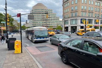
because there’s no way to drop your own pins on his Google map. If, for example, you wanted to stick a pin on Canal Street to make note of Silver’s complicity in maintaining that street’s never-ending traffic jam and Chinatown’s third world-level childhood asthma rates, you’d be unable to do that. If you wanted to point out that Lower Manhattan enjoys some of the city’s slowest buses and most dangerous streets, thanks, in part, to Silver allowing Rochester Assemblyman David Gantt to deny New York City the use of red light and bus lane enforcement cameras, you wouldn’t be able to do that either. And given that the Speaker is known more for the projects and policies that he’s stalled and killed (the commuter tax, New York City’s Olympic bid, congestion pricing…) than the projects he’s made happen, it seems like there ought to be a map showing all the things that don’t exist in New York City thanks to Sheldon Silver’s handiwork.
So, here it is. To help create a more complete picture of Shelly Silver’s citywide footprint, Streetsblog went ahead and built a more interactive “What Shelly’s Doing Near You” map. If you’ve got a contribution, go ahead and add it to the comments section here on Streetsblog. Pin it on Shelly.

