Map It: How Bikes Can Fill Transit Gaps

It’s no surprise that Williamsburg and Greenpoint proved to be an early epicenter of the recent bike boom. Few neighborhoods so physically close to the Manhattan core had such limited transit access, and bikes were a common-sense way to fill that gap.
By the same logic, argues Charley Ferrari, the next great bike neighborhoods might just be Maspeth, the Astoria waterfront and Red Hook. Ferrari noticed that the online mapping tool Mapnificent, which shows everywhere you can travel on public transportation from a given point in a certain amount of time, includes an option to include bikes in its calculations. That allowed him to visually analyze which neighborhoods get the biggest accessibility boost from a bike.
Wrote Ferrari:
I’ve always thought about what sort of long term effects prevalent bike usage would have on the geography of the city, and this tool allows you to get a visual idea of this. So many areas are easier to get to if you don’t have to worry about staying close to a subway line, and even more areas open up if you take your bike on the subway, which is how Mapnificent does its calculations.
As Ferrari notes, the biggest gains come once bikes and transit are integrated. As a Department of City Planning study found in 2009, less than 30 percent of Queens is within walking distance of the subway, but more than 70 percent is an easy bike ride to the train.
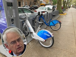
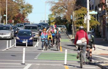
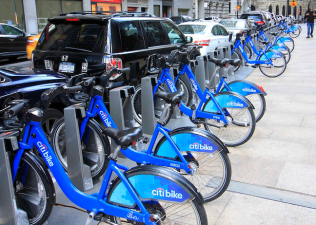
Programs that make it easier to bike to the subway are therefore a critical frontier for New York City transportation policy. Whether that’s outer-borough bike lanes feeding into transit hubs, as proposed by a team of Hunter planning students, better bike parking at rail stations or a bike-sharing program that allows for easy last-mile trips without the worries of finding secure parking, a bike-to-transit program could transform the way people get around in neighborhoods where transit options aren’t as plentiful.
Streetsblog NYC will be back on Tuesday. Enjoy the long weekend, folks.


