LSN Community News: Transit Technology Buzz
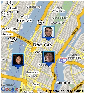
 Google’s new Latitude tool: useful for ParaTransit?
Here’s an interesting dose of outside-the-box transportation thinking that recently bubbled up from the Livable Streets community. Smart ParaTransit — a group that "targets new ways of getting people in and around cities in road vehicles, smaller than full sized
buses, driven by real human beings, dynamically shared with others, and
aided by state of the art communications technologies" — is intrigued by the potential of Google Latitude:
Google now offers a service that uses the GPS hardware found in smart phones (such as the iPhone, Google Android, BlackBerry and Windows Mobile handsets) to pinpoint your position on a map and share that information with your friends… The same technology can be used to pinpoint the location of any location-aware transpo resource: a bus, subway, taxi, car-share, or parking space, and share that with the public (as well as display it at bus stops, subway stations, taxi stands (we can dream, right?) etc.
For more on Smart ParaTransit, read Streetsblog publisher Mark Gorton’s five-part series exploring the idea and how it might work. If you’d like to strategize or chime in on the discussion, join the Smart ParaTransit group.
And on a different note, we’d like to give a warm welcome to all the new LSN members from Jacksonville, Florida who joined in unprecedented numbers this week.
