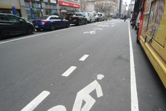
Where in the City is this?

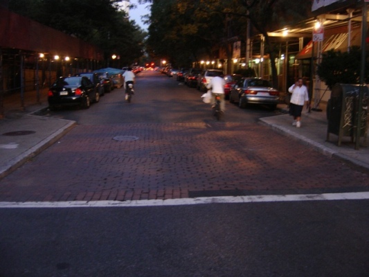
Every so often I find little gems of street planning that I would love to see replicated elsewhere in the city. For instance, the other night I walked past this side street with bump outs at the crosswalk that give pedestrians more space and prevent automobiles from cutting corners too sharply.

Picture 043_2.jpg

Can any name where in the city this is? Bonus points if anyone knows any history on why this street is so unlike anything near it.

ALSO ON STREETSBLOG

DOT Plans Safer St. Nick @ Amsterdam, With More Uptown Action to Come

|
Northbound cyclists on St. Nicholas at Amsterdam will have to negotiate a dogleg to reach the parking-protected lane. The southbound lane, at left, will be opposite a row of back-in angled parking. The speckled blue areas indicate new pedestrian space. At a Monday night meeting with the transportation committee of Manhattan Community Board 12, DOT […]

DOT Plans Safety Upgrades at Foot of Manhattan Bridge in Chinatown

|
Choked with car and truck traffic, the Manhattan Bridge ramps around Canal Street are a danger zone. DOT has a plan to tame some of the chaotic crossings for people on foot, which the Manhattan Community Board 3 transportation committee voted in favor of last night. Seven pedestrians and nine motor vehicle occupants were seriously injured at the intersection […]